FEMA Flood Evaluation Certification
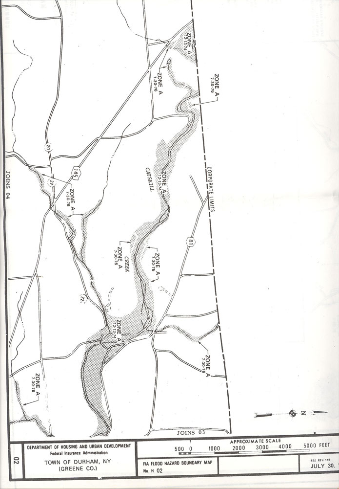
Usually referred to as an elevation certificate FEMA flood evaluations are used by lending institutions and insurance companies to determine the need of flood insurance on a property and at what cost the premium. The certificates are used by the adjusters to determine the likelihood of the property to be inundated by flooding with a base line 100 year flood. Elevation certificates require the determination of the exact elevation above sea level of the floors of a dwelling including the basement floor and its relation to the base flood elevation (BFE) of the land as determined by FEMA. In cases where no BFE has been established the certificate shows the difference in elevation between the floors of the property with the adjacent grade of the land near the dwelling.
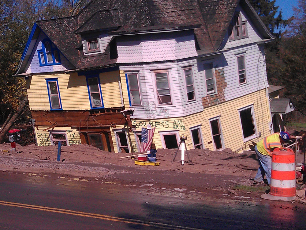
In the past I have used Richard Sardo’s land surveying services on a few occasions. However, after Hurricane Irene devastated the Town of Prattsville Mr. Sardo became a very common site in this town. Months after the initial clean-up I called Richard seeking his services for elevation certificates so residents could get eligible for FEMA money and rebuild their homes. I took Richard on a tour of the town and he commented that it looked like one big construction site. He also promised that he was going to donate his services minus his costs for doing the work so it would be easier for people to get back in their homes. In the past two years Richard has helped many people here in the Town of Prattsville rebuild and get back to a normal life. Richard by volunteering his services has made a difference in this town.


